 1 week ago
35
1 week ago
35
El Niño is strengthening across the Pacific and could reach “super” status later this year, according to several forecasters, raising the prospect of a record-strength climate event with effects lasting into 2027.
What Is El Niño?
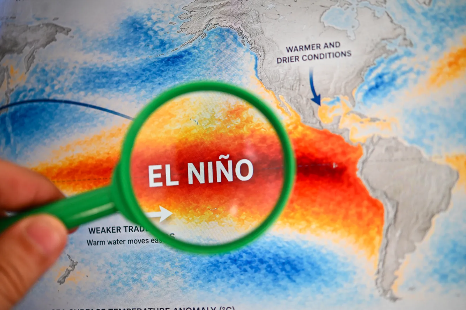
NOAA defines El Niño as the warm phase of the El Niño-Southern Oscillation, or ENSO, a recurring Pacific climate pattern that shifts ocean temperatures and disrupts tropical wind and rainfall patterns, with global weather effects.
The agency says that during the winter months, El Niño usually leads to wetter conditions than normal in the Southern U.S., but warmer and drier conditions in the North.
A "super" El Niño is an informal term used by some meteorologists to describe an exceptionally strong event, generally when ocean temperature anomalies exceed about 2 degrees Celsius above average. Such events are rare. Since 1950, only a handful have occurred, including the powerful episodes of 1982-83, 1997-98 and 2015-16.
A 90% Chance at Least
AccuWeather said in a July 29 forecast, updated August 3, that there was now a more than 90 percent chance El Niño would become a “super El Niño” by the end of the Atlantic hurricane season. The forecaster said the strengthening pattern could help reduce tropical activity late in the season, though it cautioned that a quieter season would not necessarily mean a harmless one.
AccuWeather said a stronger El Niño can increase wind shear over the Atlantic, which can make it harder for tropical storms and hurricanes to form or maintain strength. Alex DaSilva, AccuWeather’s lead hurricane expert, said the stronger El Niño becomes, the more likely the end of the season is to be less active.
The official start of the Atlantic hurricane season was June 1. It runs through November.
El Niño is continuing to strengthen and remains on track to potentially become one of the strongest such events on record by this fall or winter, Fox Weather reported. The outlet said the event is not yet a “Super El Niño.” Water temperatures in a key part of the Pacific are currently about 1.5 degrees Celsius above average, which Fox Weather described as a “strong” El Niño.
To reach “super” status, Fox Weather said Pacific waters would need to run 2 degrees Celsius above average for at least three months. It also reported that the Fox Forecast Center does not expect a Super El Niño declaration anytime soon, and that there is no definitive timeline for when the threshold might be reached.
Fox Weather also noted that, since 1970, the five recorded Super El Niño events have been followed by a quick transition into either neutral or La Niña conditions. The outlet added that the 1997 event is likely the closest comparison, though forecast models show the current El Niño could become even stronger.
As of Monday morning, a Polymarket prediction market implied an 88 percent chance that winter 2026-27 would see a Super El Niño.
CPC Forecasts Continued Strengthening
The Climate Prediction Center (CPC) said in a July 9 update that El Niño was expected to continue intensifying through the end of 2026.
The agency said there was a 97 percent chance El Niño would persist through early spring 2027, and an 81 percent chance of a “very strong” El Niño during the October-to-December period, which the CPC said would place it among the largest El Niño events in records dating back to 1950.
CPC added, however, that even the strongest El Niño events do not produce typical impacts everywhere, though stronger events can increase the odds of expected patterns.